Educational familiarization only. This TechOpsBase resource is an original learning transformation grounded in a privately supplied B737 MAX ATA 34 source. It does not reproduce manufacturer task steps, limits, figures or controlled maintenance instructions. Current approved data and aircraft effectivity control real work.
What this resource teaches
Understand alignment as establishment of a valid inertial reference and how GPS can support automatic position initialization—without reproducing an operating procedure.
Alignment establishes the inertial reference
The chapter provides multiple alignment methods using the FMC CDU, ISDU or automatic GPS-supported function. The learning idea is that the inertial system must establish a trustworthy reference before navigation outputs are valid.
Position input must be credible
Manual alignment requires present-position latitude/longitude, while the hybrid GPS feature can supply position from GPS/MMR data. Incorrect or unstable initialization can prevent a valid solution.
Movement disrupts alignment
The source explicitly warns that aircraft movement can restart the alignment process. This makes physical aircraft condition part of a navigation-computer setup problem.
Latitude affects alignment behavior
The source distinguishes regular and high-latitude alignment behavior. The exact timings and limits remain approved-data topics; the conceptual lesson is that inertial alignment performance depends on geographic location.
Cross-system consequence
Autoflight, autothrottle, TCAS/ATC and display functions can depend on valid air-data/inertial information, so an ADIRS problem can propagate far beyond ATA 34 indications.
Put this topic into the wider system
One source can feed many consumers
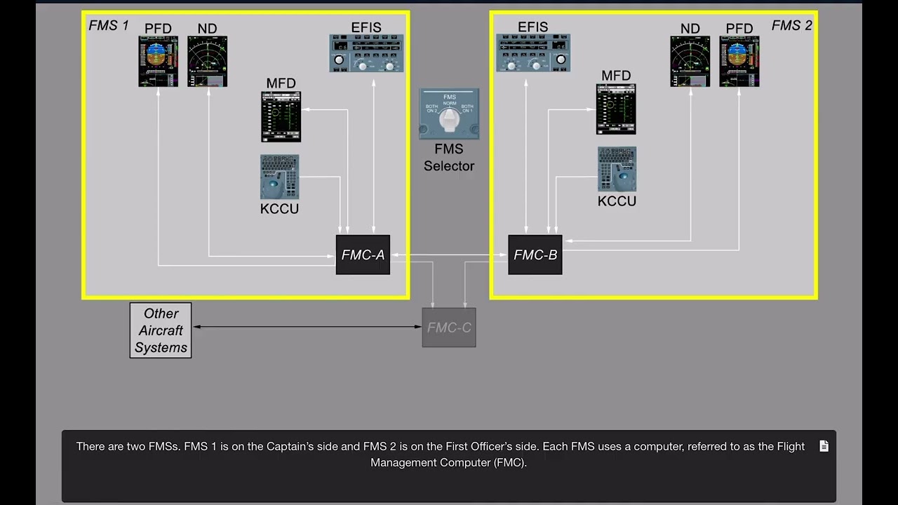
Air-data/inertial/navigation outputs are shared by displays, autoflight, surveillance and flight management. When several consumers disagree with reality in the same way, common upstream data should be considered before separate downstream failures.
Independent sources are valuable comparators
Left/right ADIRUs, radio sources and GPS-supported functions create opportunities to compare independent information. Agreement between independent sources strengthens confidence; disagreement helps identify which data chain deserves approved testing.
Deeper system reasoning
Radio and hazard systems are separate sensor chains with shared consumers
Radio altitude, weather radar, ILS/MMR, TCAS and ATC/ADS-B all live in ATA 34 but sense or compute very different things. The chapter’s tests show they share dependencies with displays, air-data/inertial reference and flight-management/autoflight functions. A technician should identify the actual data item in error—radio height, traffic, position, weather return, guidance source—before choosing which chain to investigate.
Navigation integration makes cross-ATA reasoning mandatory
ATC/ADS-B tests depend on DFCS, ADIRS, ILS, ATC and FMCS; TCAS tests depend on air data, ATC, display and radio-altimeter serviceability. ADIRS tests also reference equipment cooling and MDS. These relationships demonstrate why integrated-avionics symptoms do not respect one ATA boundary. Map producers, processing, buses and consumers, compare independent sources, then hand off to the approved IFIM/WDM/test procedure.
Technician evidence matrix
Record the specific data item that is wrong, left/right source comparison, ADIRS/alignment/source validity, GPS/radio availability and which consumers show the same symptom.
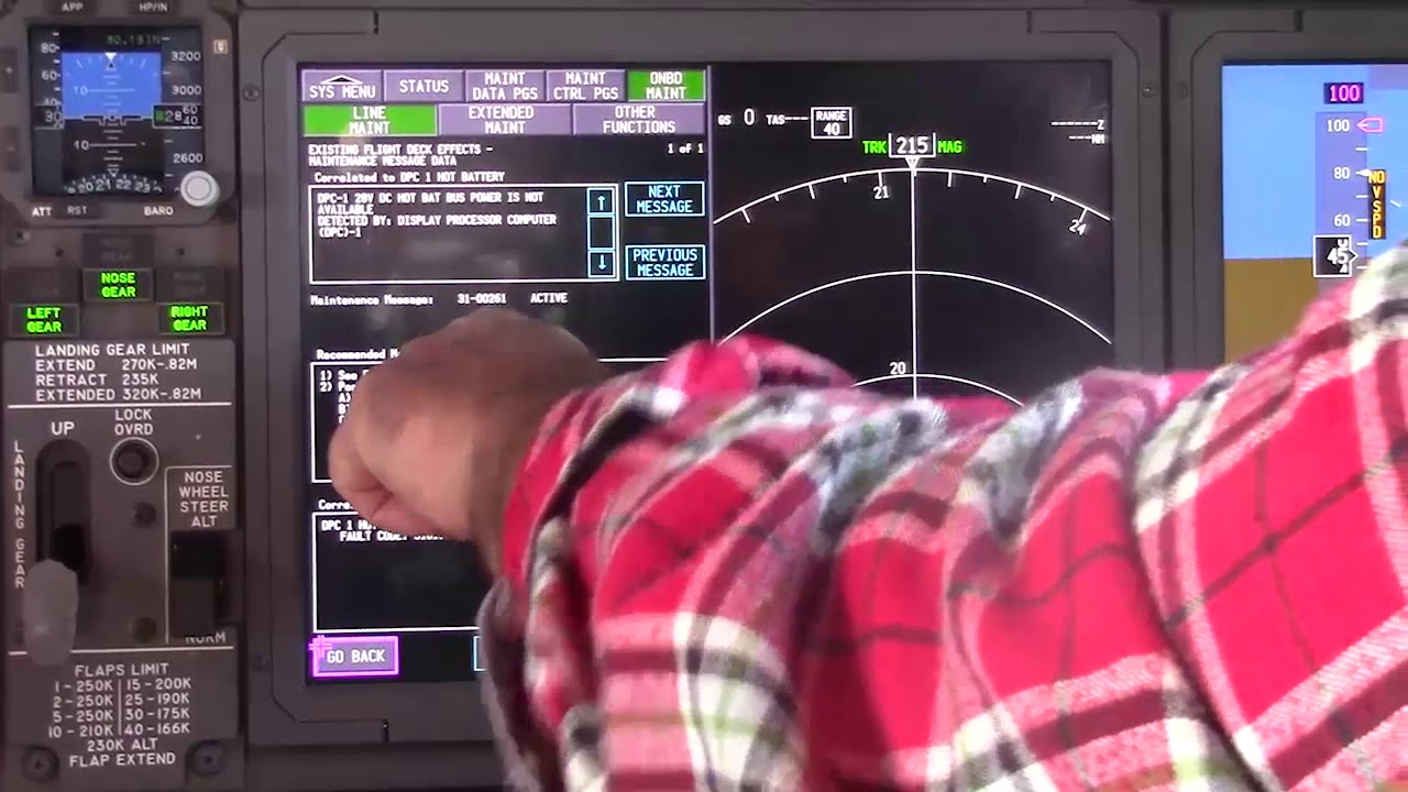
Before using a maintenance message as a conclusion, note what independent evidence agrees with it and what evidence does not. If an alternate source, channel or display changes the symptom, record that explicitly because it can separate a common path from a source-specific path. Preserve configuration and event conditions in the handover so the next technician does not have to rebuild the diagnostic context from memory.
Evidence-first study method
For any system complaint, separate source/input, control logic, physical response, sensing/indication and consumer/result. When two layers disagree, that disagreement is useful evidence. Do not turn that evidence into a maintenance action until the applicable approved fault-isolation or maintenance data is open.
Approved-data boundary
Educational system explanation only. Do not use this page to perform maintenance, operate aircraft systems, isolate components or determine dispatch status. Current approved maintenance data, aircraft effectivity and operator procedures control real aircraft work.